Colorado’s high country is set to receive up to 5 feet of snow by Presidents’ Day weekend, as a series of storms and an arctic cold front move into the state. Skiers and snowboarders can look forward to fresh powder, while temperatures are expected to plunge.
Subscribe
Adventure Tourism
Breaking News
3-5 feet of snow forecast in Colorado’s high country by President’s Day weekend
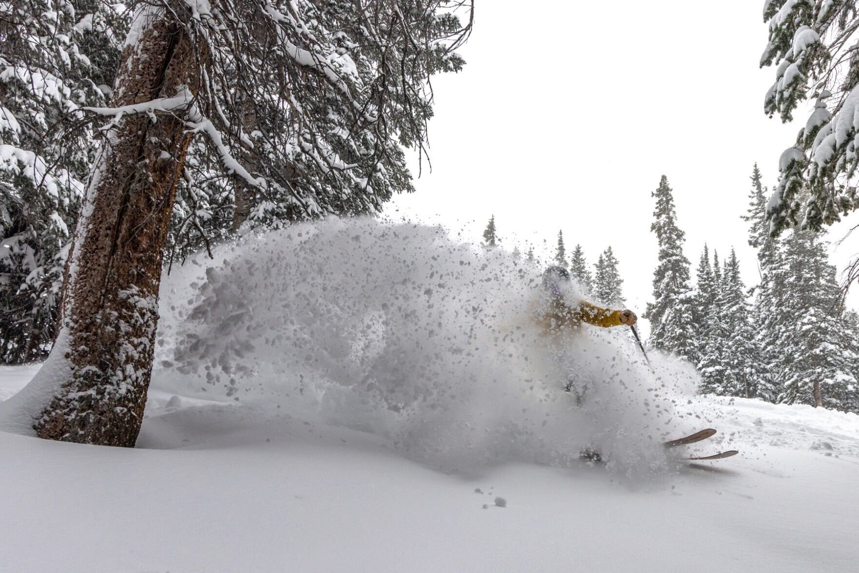
Photo by Gazette
Key Takeaways:
- Significant snowfall of up to 5 feet forecasted in Colorado’s high country by Presidents’ Day weekend.
- Arctic cold front bringing some of the coldest temperatures of the month.
- Continuous snow expected over the next 8-10 days due to west-to-east zonal flow.
- Ski resorts experienced significant snowfall over the weekend, the first since MLK Jr. Day.
- Ongoing active weather pattern suggests continued snow into the third week of February.
A Snowy Forecast for Colorado’s High Country
Colorado’s high country is preparing for a significant winter weather event, with forecasts predicting up to 5 feet of snow in some areas by Presidents’ Day weekend. An active weather pattern, combined with an arctic cold front moving south into the state, is set to bring continuous snowfall and frigid temperatures over the next several days.
Weather Patterns Driving the Snowfall
Meteorologists attribute the impending snow to a west-to-east zonal flow that will dominate Colorado’s weather over the next 8-10 days. This pattern is expected to funnel moisture into the state, resulting in regular snowstorms. As noted, “An active period continues past Presidents’ Day weekend as well, with more snow forecast during the third week of the month as continued moisture is funneled into the state on an overall west-to-east zonal flow.”
Recent Snowfall Boosts Ski Resort Conditions
After weeks of minimal snowfall since Martin Luther King Jr. Day, Colorado’s ski resorts finally experienced “powder days” over the past weekend. Winter Park in the northern mountains reported an impressive 18 inches of fresh snow, while Aspen/Snowmass in the central mountains received 11 inches. Although the southern mountains saw less activity, Powderhorn recorded 3 inches, taking the prize by proxy.
Midweek Snowfall Predictions
The snowfall is expected to intensify as the week progresses. Snow showers are set to develop in the southern mountains early Monday morning, bringing accumulations of 2-4 inches by Tuesday morning. Overnight on Tuesday, snow showers will begin in the central mountains and northeastern mountains west of Boulder and Denver. By Wednesday’s first chair lifts, snowfall totals are anticipated to be:
- 8-10 inches in the northern and central mountains.
- 10-20 inches in the southern mountains, with the highest amounts near Wolf Creek in the eastern San Juan Mountains.
“Snow will continue to fall Wednesday through Thursday morning, adding an additional 2-4 inches across the state,” forecasts indicate.
Arctic Cold Temperatures Accompany the Snow
Along with the heavy snowfall, an arctic air mass is expected to bring some of the coldest temperatures of the month. Frigid conditions are predicted for both Tuesday and Wednesday, with highs only reaching the teens on Tuesday and dropping to single digits on Wednesday. However, ski areas further west, such as Crested Butte, Telluride, and Powderhorn, may experience slightly warmer temperatures, with highs in the upper 20s on Tuesday and mid to high teens on Wednesday.
Extended Forecast and Impact
The snowy conditions are projected to persist into the weekend and beyond. Thursday is forecasted to start partly cloudy before transitioning to snow showers in the afternoon and evening. Snow is expected to continue on Valentine’s Day and through Saturday of Presidents’ Day weekend, potentially providing soft and light conditions for Sunday’s first chair lifts. Forecast models suggest that snow showers may pick up again Sunday night and last into Tuesday, February 18.
By February 18, the cumulative snowfall could reach:
- 3-5 feet in favored areas of the central and southern mountains.
- 2-3 feet in the northern mountains.
The potential for continuous snowfall throughout the entire week is appearing on most forecast models, indicating that Colorado’s high country will remain under winter’s spell for the foreseeable future.
Preparing for Winter’s Return
Residents and visitors to Colorado’s mountain regions should prepare for significant snowfall and cold temperatures in the days ahead. Those planning to hit the slopes can look forward to improved conditions, but should also be mindful of the frigid weather and plan accordingly. As winter makes a vigorous return, Colorado stands ready to embrace the snowy onslaught.